Las Mapas
If you are planning on a major road-trip to South America (and we know some of you are), then this post is for you.
We’ve been meeting some other travelers lately who are driving around with GPS devices with no maps on them. All French, for some reason. They have the European maps on there, but in South America all you get is a generic world map with a few dots for major cities. No roads and no details. Yet, they still turn these things on and put them on their dash (and oddly, it’s always the same Garmin ’60’ model.)
One way or another, Angela ends up volunteering me to upgrade their device for them. “It’s easy for you,” is the common catch-all reasoning she uses when she signs me up for something. I usually don’t mind helping – sometimes I even feel a little responsible for some of these folks who have grand plans of driving off into some crazy locations with no information at all.
Anyway, in helping out others (and myself, of course) I’ve managed to accumulate a little knowledge on what’s out there. The free stuff, anyway. These are all public domain projects that are absolutely free to download and use. I’m sure you could buy something, but why would you do that now?
Colombia
Colirut – very good detail throughout the country. Find your way around mud slides and street protests with ease. Highly Recommended.
Ecuador:
Proyecto Ecuador – no complaints. Then again, it’s a pretty simple country to navigate. Will certainly help in the big cities, but the smaller towns have fewer details.
Venezuela
www.gpsyv.net – we didn’t go there (yet, anyway) but I hear this one is good. Give it a try and let us know! (UPDATE: we used it – it’s very good!)
Peru
Perut – excellent. I don’t recall any problems. Recommended.
Viajeros mapas – includes southern Peru and topographical info. Useful if you are interested in altitudes. In Peru, you should be.
Bolivia
Bolrut11 – Decent. Good coverage in cities, but many roads are missing or incomplete. It may steer you down a sidewalk in Sucre. Still, it’s better than nothing. I haven’t been able to find this on the web since I originally downloaded it. If you want it, email us and we’ll send it to you.
Viajeros mapas – Bad in cities, but good in the desert and mountains. Again, useful if you are interested in altitudes. I switched between these two maps depending on where I was and what info was available.
Chile
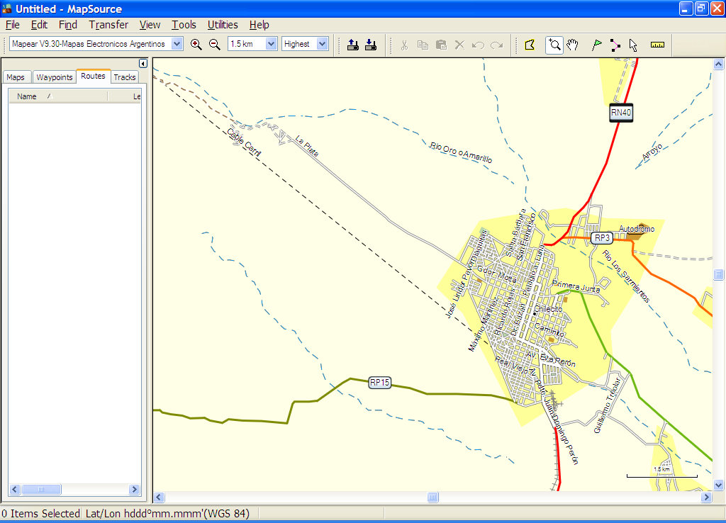
Mapear – best option for roads and details in cities.
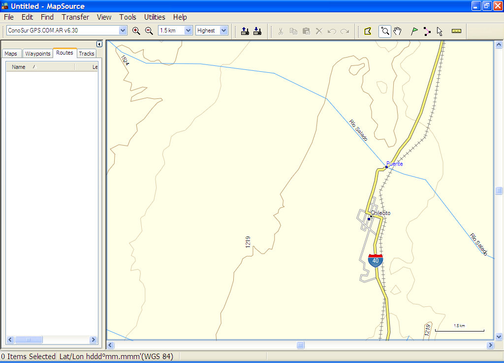
Conosur – good, but Mapear is usually better. Try both, depending on your location.
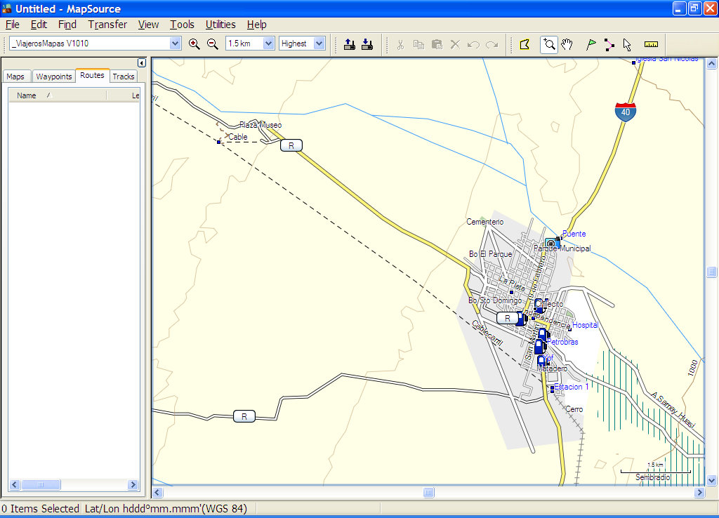
Viajeros mapas – good for topo info, but only covers the northern part of the country.
Argentina
same as above for Chile.
Brazil
TRC mapas – Haven’t used it yet, but it looks pretty thorough. (UPDATE: it’s excellent. Updated monthly.)
USA, Canada
Our GPS was the ‘North American’ model and these maps were included when we bought it. To Garmin, North America only includes the US and Canada.
Mexico
oops, forgot what we had here. Garmin does make maps for Mexico.
Central America
I assume because of the small market, maps for these countries were tough to find. I know at least one company does sell maps for Costa Rica. We did without. In general, in Central America, if you are on a road at all – that’s the one.
Since then, I’ve seen www.cenrut.org. Looks be useful.
Other general info:
If you have any interest at all, download the above maps now. They may disappear. At least one of them releases frequent updates (Mapear), so check back later before you leave on your trip.
You can also check places like:
http://garmin.openstreetmap.nl/

If you have more info or better suggestions to contribute, please leave a comment. Hopefully, other travelers will be able to use this info for their own grand adventures. !Buen viaje!
Note: every map I’ve seen disagrees with every other map out there – both the paper and the digital ones. Better to have more information than less.

Hey jason, a lot of your map links are bad… In form of: https://bodeswell.com/2011/09/08/map-guy/www.proyectomapear.com.ar rather than the actual link.
Also, without going to these links and investigating — and more from a technology interest, do these all have stuff you download to your GPS? or do you have to use them from your laptop?
Rock on – I’m off to Galveston tomorrow — will certainly be thinking about you guys.
scott
thanks for the tip! The links should now be fixed…
They are all maps for your GPS. Mostly in Garmin format, but can probably be converted. You can also use them on your PC with the Garmin Mapsource software.
Thanks for the great info! The Peru maps will come in useful, we just found out from AdventurousSpirits.com that the ones we have are useless…
Just to let you know that TRC maps of Brazil are updated very frequent, but there are so many little roads off the beaten track that are not in the system, so there is quite some “discovering” yet to be done!
Adventurous greetings,
Coen
for Bolivia, there are three choices of maps
1) OpenStreetMaps
2) http://www.bolirut.com
3)www.rutabo.com
Ruta-Bo is the best, but you must pay US$25 for it.